
 When I got to my local branch of the Boston Public Library last Thursday I found out the IT folks were updating all of the laptops available for loan. I go to the library every day and the first thing I do each day is to get one of their laptops to work on. When the techs were done updating the laptops I found I could no longer mount my external hard drive, which is something I had been surprised to be able to do in the first place. My external drive was formatted for my old Linux laptop and needs special drivers to be mounted on Windows computers like the library has available for patrons to use. Not being able to install the drivers essentially destroyed my daily workflow because I can no longer access any of the files I used every day to get things done online. I’m still trying to figure out how much I can and can’t do, but if it weren’t for the WiFi-only Android phone a friend is letting me use I wouldn’t even be able to take new pictures, let alone post them.
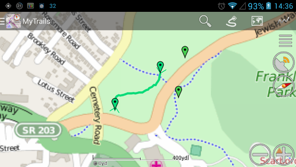
When I walked out the door Sunday morning, 19 April, I wasn’t planning on taking any new pictures, partly because I don’t have a memory card for the phone so I’m usually short on space for new pictures. As I was heading to the clubhouse for Franklin Park’s William J. Devine Golf Course to use the free WiFi to check my email, I took the turn off Circuit Drive/Jewish War Veterans Drive to go to Schoolmaster Hill, only planning to see how things looked now that all the snow has melted.
When I finally left the Schoolmaster Hill Terrace to go to the clubhouse there were 26 new pictures on my phone. As I started writing this post I realized I had missed taking some pictures so I went back yesterday and took five more pictures.
Just a note before the jump: Most people refer to the area as simply “Schoolmaster Hill,” but I found out the original name is “Schoolmaster Hill Terrace” so that’s the name I’m going to use most of the time. I’ve also found there are other names for the Forest Hills Corner and the hill where the Wilderness Scenic Overlook so I’ll be going back in the next week to update the posts to show the proper names of the sites.